
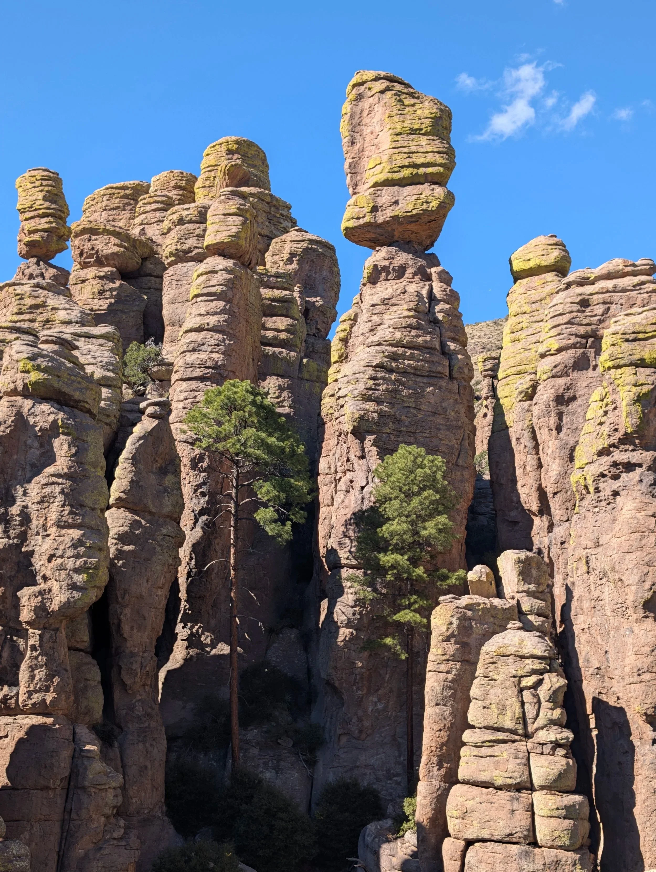
Chiricahua National Monument – the Next US National Park?
I had never heard of Chiricahua National Monument! But as we head to Tucson, AZ, for our wintertime dose of sunshine, I read that it might become the 64th National Park! On a quest to visit all US National Parks, this is intriguing to us. So mid-visit we begin a day trip driving east out of Tucson for two and a half hours, past Dos Cabezas and onto Willcox (aka the middle of nowhere) before we are greeted by an attractive sign and incredible views at the entrance of Chiricahua National Monument.
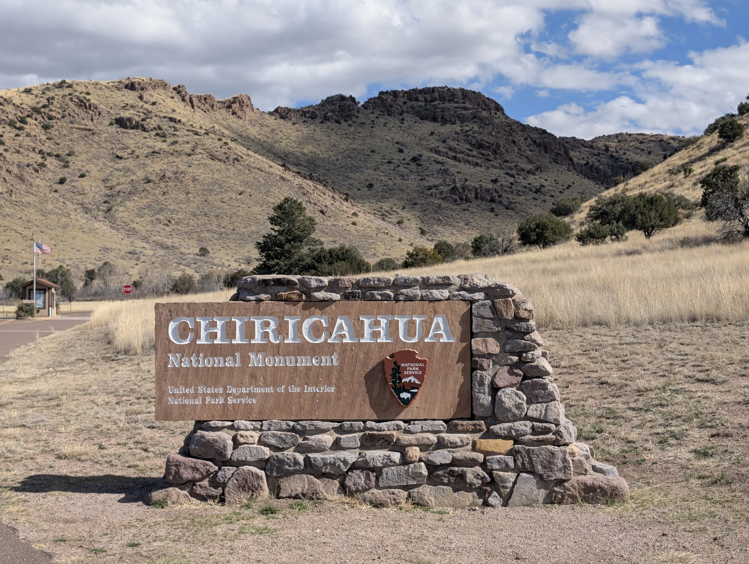
Entrance sign to Chirichua National Monument
As usual, we begin at the Visitor Center (open daily): watch the 12-minute movie, take in the exhibits, get our map and plan our day’s adventure. We are already impressed by the rock formations and well-maintained infrastructure, before learning that this monument boasts unique geological wonders along with a rich cultural history.
Geological and Cultural History of Chirichaua National Monument
Chiricahua was designated a National Monument in 1924 to preserve and protect the pinnacles. But the geological history began 27 million years ago when volcanic eruptions covered the landscape with ash. Over centuries the ash melted together forming layers of rhyolite rock. Cooling and uplifting created joints and cracks allowing ice wedging and water erosion to carve the picturesque rock formations we see today. They feel like a cross between Bryce Canyon’s hoodoos, Pinnacles rock formations and Joshua Tree’s rounded rust-colored boulders.
The area had been home to the Chiricahua Apache since the early 1400’s. Once European settlers arrived tensions grew until 1861, when Chochise, a leader of the tribe, was falsely accused of stealing a horse and kidnapping a boy. This led to two bloody decades of the “Apache Wars” which gave Geronimo his fame. In 1886 the Apache surrendered and were relocated to reservations in Oklahoma and New Mexico. Fort Bowie, a strategic outpost built by the US Army in 1862, is also a National Monument in the area.
Eventually, in the 1920’s, the Riggs family began tourism at Chiricahua by taking in visitors at their Faraway Ranch. They were also instrumental in preserving the area and establishing it as a monument in 1924.
Between 1934 and 1940 the Civilian Conservation Core constructed the core infrastructure in Chiricahua National Monument. Their work included: the road up to Massai Point, 17 miles of hiking trails in and around all the rock formations along with the visitor center and other key structures in the monument.
Bonita Canyon Drive and Massai Point
Massai Point is the highest spot in the monument, at 6,870 feet, a scenic 6 miles from the visitor center. It boasts a 360-degree view of all the rock formations and is a must see for visitors! It’s a great way to start your visit.
Echo Canyon Loop Trail – 4 miles, 600 feet elevation gain.
The highly recommended Echo Canyon Trailhead is half a mile down the main road from Massai Point with a parking lot that fills up fast despite the relatively low crowds.
We learn that the hikes here are rocky, like Tucson hikes, but even more so! Don’t be fooled by the mileage – this is a moderate rather than easy hike. The recommendation for this loop is to go counterclockwise to get the best views. However, if you’d rather do the steep sections uphill (vs downhill) then do it clockwise as we were advised to do.
The higher elevations feature rocky mesas covered in pinnacles and balancing rocks while the lower elevations are warmer and dryer showcasing yuccas, agaves, cacti and pines.
Wallstreet, as they call it, is an impressive narrow passageway between the hoodoos and rock columns near the beginning of the clockwise loop.
Echo Park is a nicely shaded reprieve before the ascent.
Near the end of the clockwise loop are the Grottoes, tunnel-like stone hallways and mazes worn between the massive boulders.
We finish the hike wishing we had gotten a parking spot at Echo Canyon (vs Massai Point) which is .5 miles up the road to our car or 1.2 more miles via the trail.
As we arrive back in Tucson after dark, we are still relishing a wonderful adventure.
Surprisingly, we vote to make this Monument a National Park! Many of the newer National Parks are promoted monuments which we feel should have just stayed monuments but not this one. However, capacity will need to be increased!
Additional Hikes
There are several other hikes, less strenuous than the Echo Canyon Trail, that are under two hours.
Heart of the Rocks hike from Echo Canyon is a strenuous hike with more mileage and elevation than the Echo Canyon Trail
If you go:
The primary season to visit is December-April, otherwise it gets up to 90 degrees, too hot for hiking over the exposed rock. Today is February 11th and it’s a perfect 65 degrees!
The nearest food and lodgings are in Willcox, 37 miles west of the park via Arizona State Route 186.
The 26-site Bonita Campground is open year around for tents, RVs and trailers up to 29 feet. But bring your own food!
